Drive to weather and road conditions
Melissa Findley
Access your favourites here
You have a trip stored, would you like to save it?
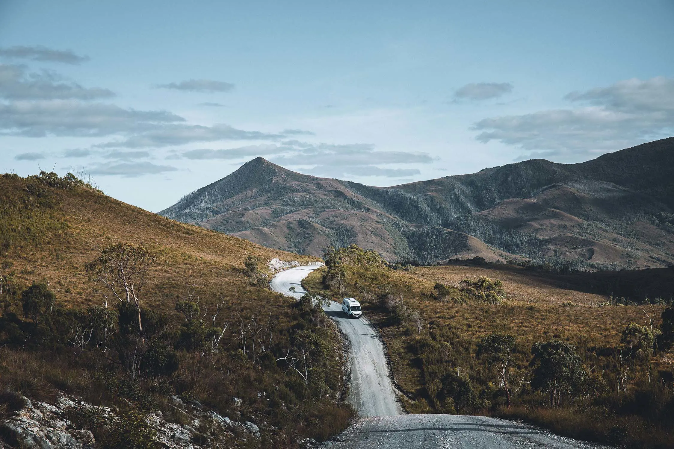
Though you can cross the island from Hobart to Devonport in less than 3.5hrs, one of the pleasures of driving in Tasmania is heading down country lanes and taking the time to explore.
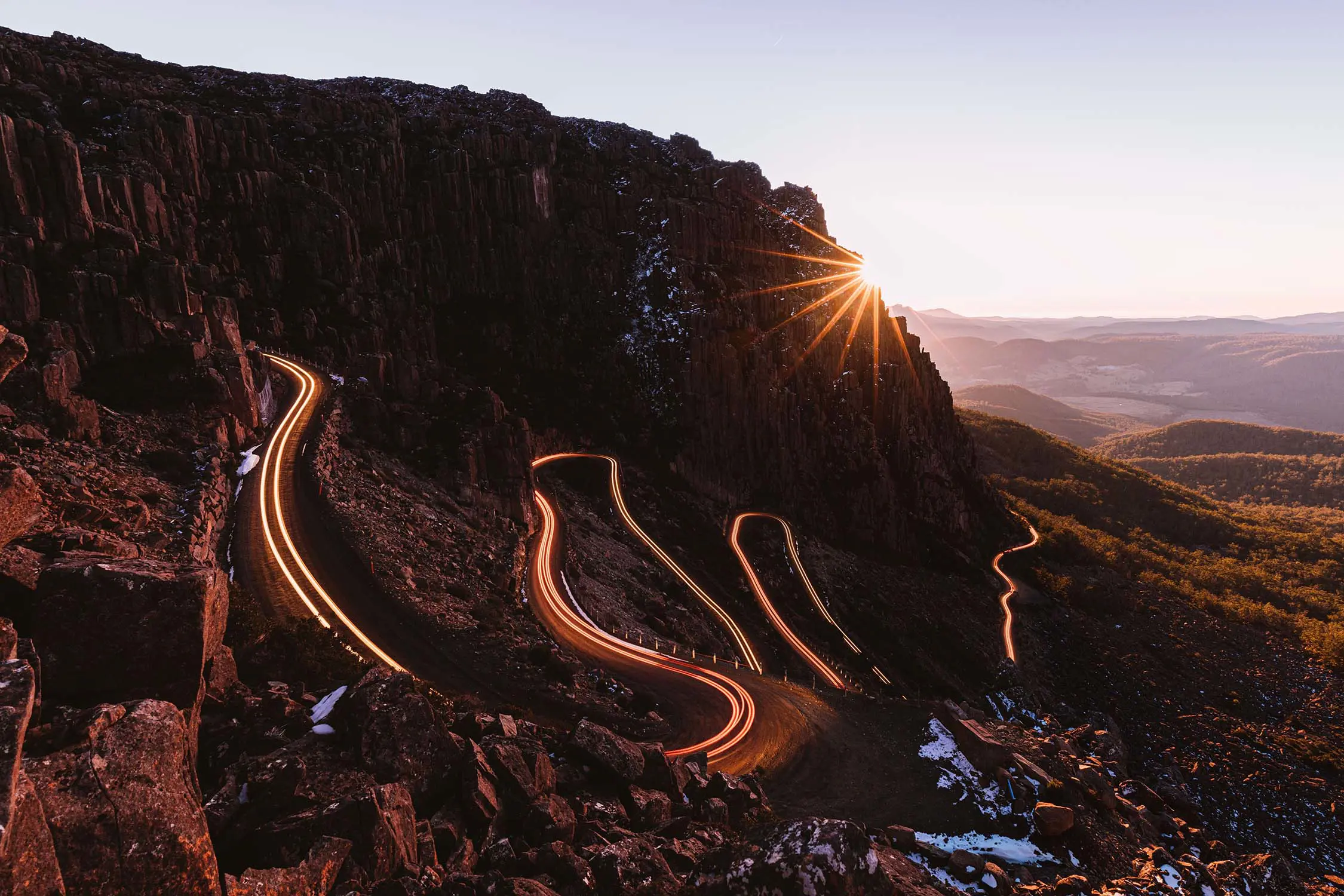
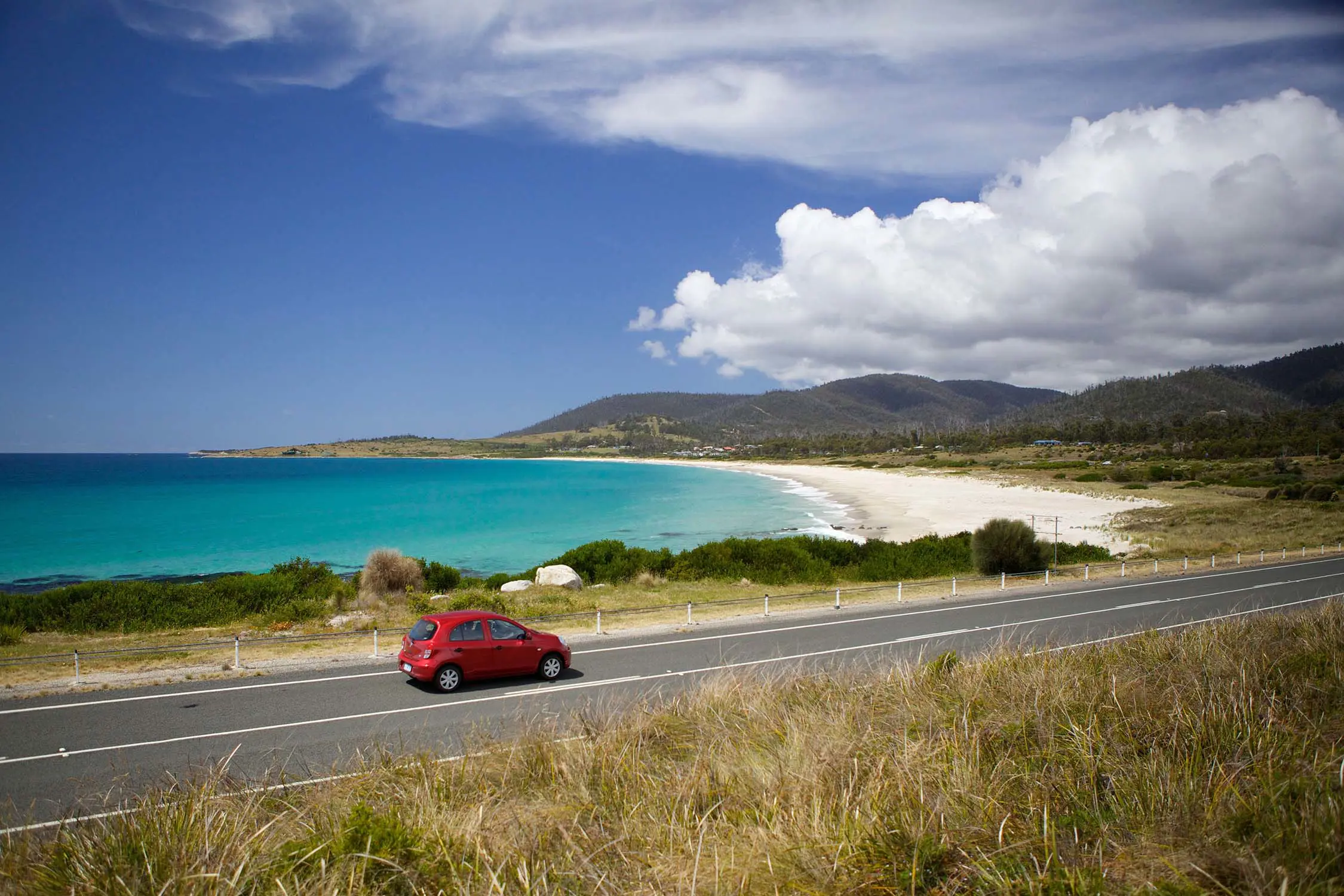
With no major freeways and many tempting detours, allow plenty of time to drive between destinations. Tasmania looks like a small island state, but don’t be fooled. It’s about the size of Ireland. Some roads are unsealed, or long and winding and it will be hard to resist pulling over to capture the sweeping views.
There are five signposted drive journeys to follow – Great Eastern Drive, Western Wilds, Heartlands, Southern Edge and Northern Forage – and a raft of special interest trails covering wine, whisky, produce, convict history and more.
Plan your route and read our driving safety tips before heading out on a road trip. Remember:
Here’s a guide to distances, drive times and road safety around Tasmania.
Drive on the left side of the road in Tasmania
| Burnie | 46km | 35min |
| Cradle Mountain (via Sheffield) | 79km | 1hr 20min |
| Hobart | 280km | 3hr 15min |
| Launceston | 100km | 1hr 10min |
| Queenstown (via Bass and Murchison hwys) | 197km | 2hr 30min |
| Smithton | 132km | 1hr 35min |
| Bicheno (via Lake Leake Hwy) | 160km | 2hr |
| Burnie | 147km | 1hr 40min |
| Coles Bay (via Lake Leake Hwy) | 175km | 2hr 10min |
| Cradle Mountain | 141km | 2hr |
| Devonport | 100km | 1hr 10min |
| Hobart | 200km | 2hr 20min |
| Queenstown (via Sheffield) | 243km | 3hr 10min |
| St Helens (via Scottsdale) | 166km | 2hr 35min |
| Strahan (via Cradle Mountain) | 270km | 3hr 30min |
| Bicheno (via Sorell) | 178km | 2hr 25min |
| Coles Bay | 193km | 2hr 35min |
| Cradle Mountain (via Midland and Bass hwys) | 320km | 4hr |
| Devonport | 280km | 3hr 15min |
| Geeveston (via Huon Hwy) | 60km | 55min |
| Kettering (via Channel Hwy) | 32km | 35min |
| Launceston | 200km | 2hr 20min |
| Port Arthur | 92km | 1hr 30min |
| Queenstown (via Lyell Hwy) | 255km | 3hr 45min |
| St Helens (via Tasman Hwy) | 255km | 3hr 30min |
| Strahan | 300km | 4hr 30min |
| Devonport | 46km | 35min |
| Cradle Mountain (via Murchison Hwy) | 100km | 1hr 15min |
| Hobart | 325km | 3hr 40min |
| Launceston | 147km | 1hr 40min |
| Queenstown | 152km | 2hr |
| Smithton | 85km | 1hr 5min |
Drive to weather and road conditions
Slow down on unsealed roads
Get where you’re going safely with these road safety and driving travel tips.
Read up on important road rules and road signs to know while driving around the island. For information on driver’s licences visit Transport Tasmania.
Check the Bureau of Meteorology (BOM) for weather forecasts and road weather alerts before you set out and allow plenty of time to drive between destinations.
Conditions can change fast, especially in winter. Both sealed and unsealed roads can become very slippery with ice and snow, which isn’t always visible. Fog, rain and shorter daylight hours bring added risks during winter, so drive slowly in cold conditions and use headlights in fog and low-visibility conditions.
Check road closures, as some roads may close due to weather. Pinnacle Road to Kunanyi / Mount Wellington summit can close during snowy, icy and unsafe conditions or traffic congestion. If driving in Ben Lomond National Park from 1 June to 30 September, all vehicles need to carry snow chains. Emergency road closures are mapped on TasALERT.
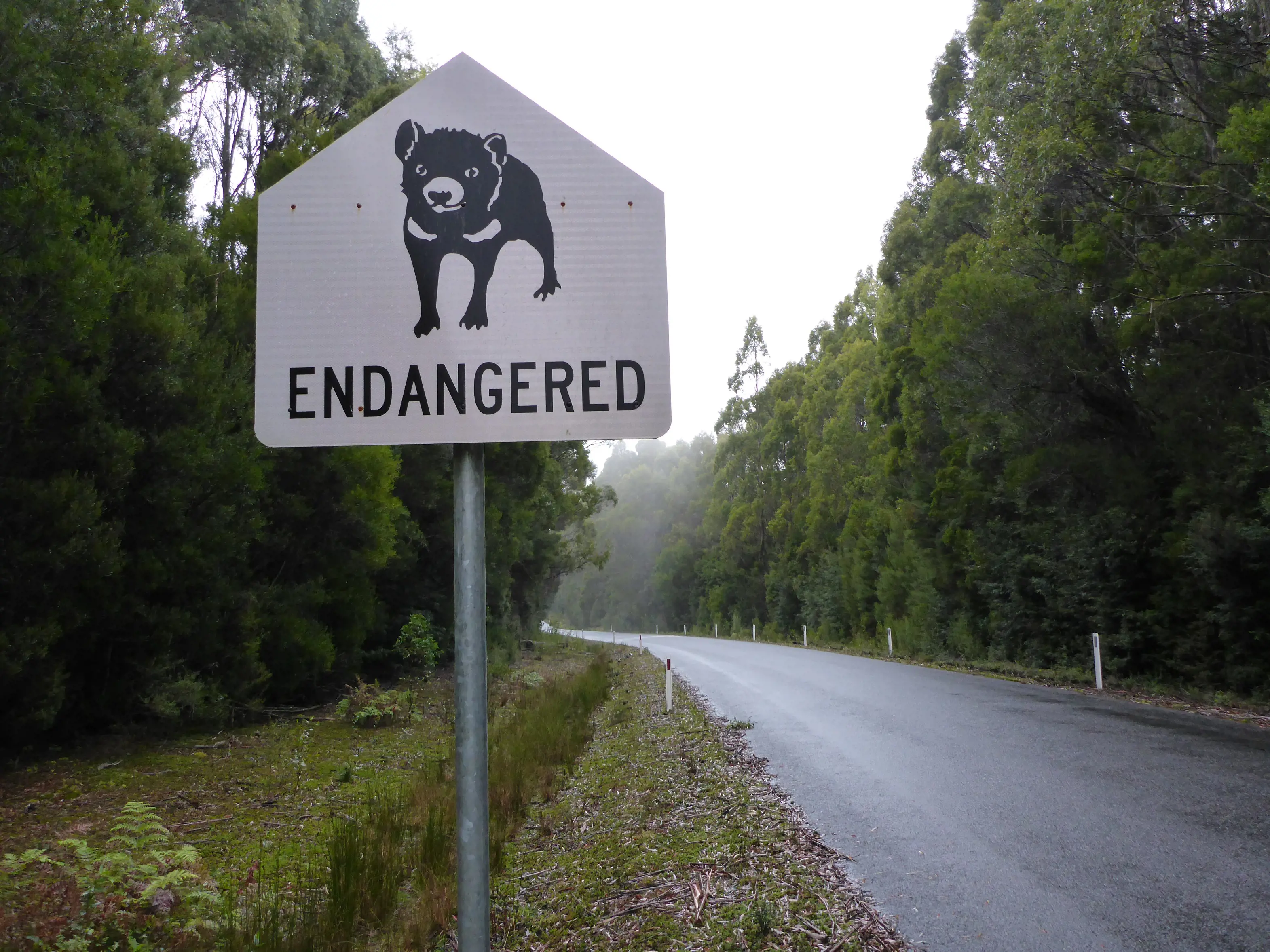
Watch for animals on the road
Mobile reception is patchy in remote areas
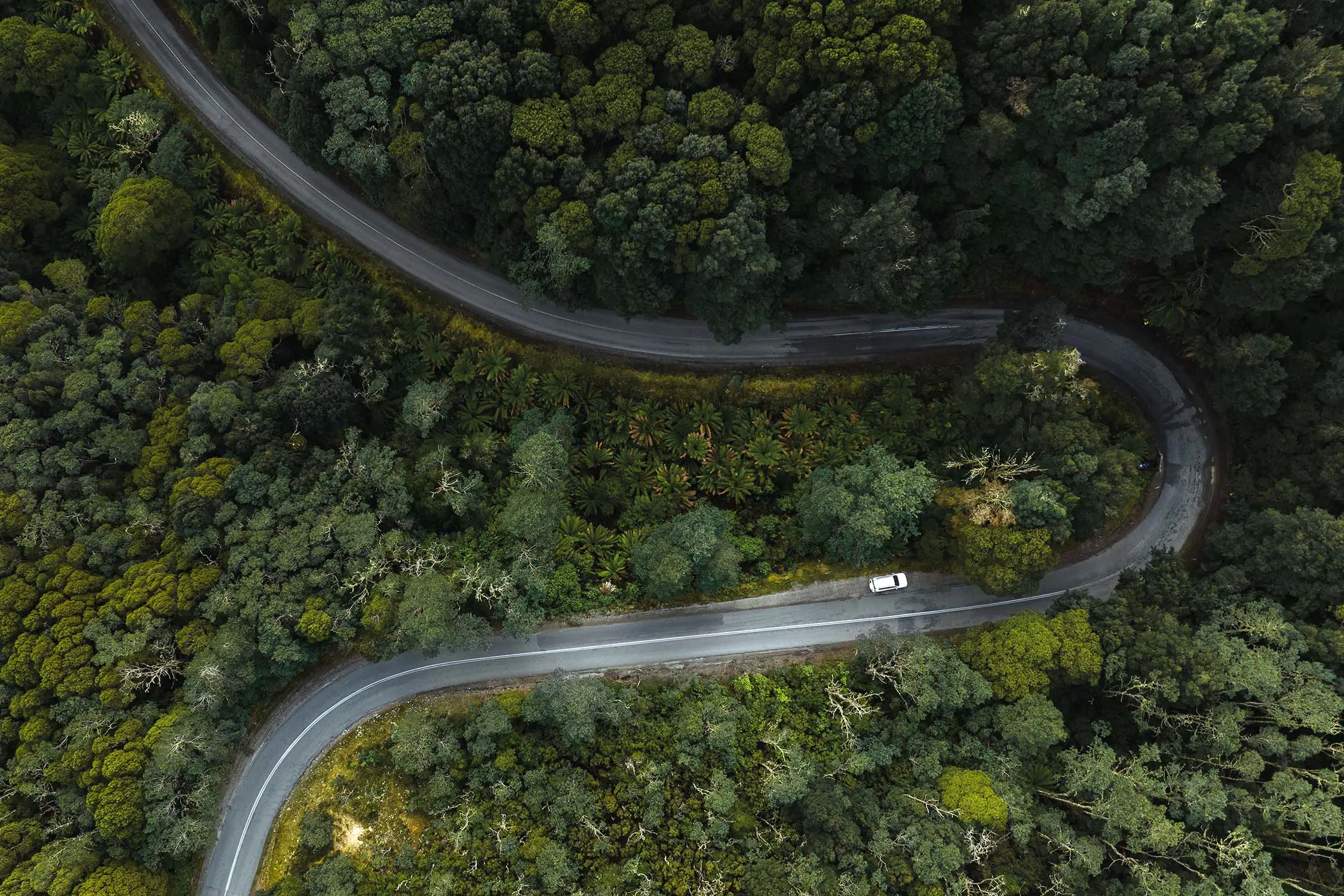
If you’re heading to a remote area or national park you might encounter narrow, winding or mountainous gravel roads, which might be in poor condition after rain and take longer to travel along.
For safer handling on gravel roads, consider choosing a 4WD, AWD or SUV rental car ahead of your trip. Check the rental policy for your hire car as insurance generally doesn’t cover driving on unsealed roads.
Because wildlife is so abundant, native animals often wander onto the road, so take it slowly and be alert – especially between dusk and dawn, when wildlife is most active. If you can, avoid rural roads at these times.
In rural areas, keep an eye out for farm animals and vehicles on the roads.
Mobile reception outside towns can be patchy and mobile app directions and distances are not always up to date. Pick up a physical map from a visitor centre, TasMap or download offline maps before you go.
If you’re exploring one of Tasmania’s wine, whisky or cider trails, don’t drink and drive. Nominate a designated driver, hop on a tour or take a taxi.
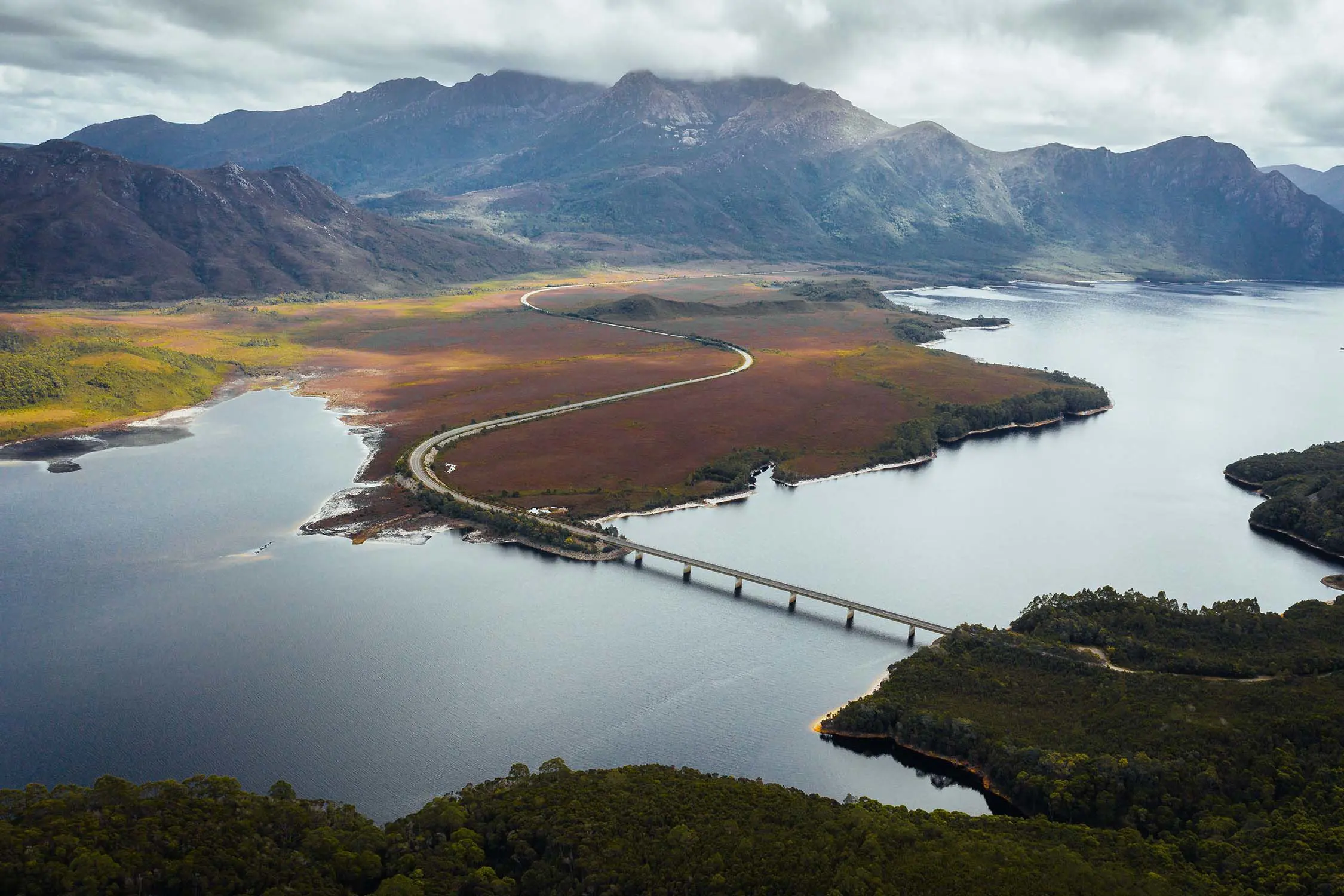
The Neck connects north and south Bruny Island
A little planning before you head out will help you have a hassle-free road trip.
Travelling in an electric vehicle? There's an expanding network of charging sites available across the island.